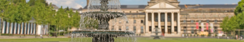
3D city model

A three-dimensional virtual model of the entire urban area of the city of Wiesbaden was developed to visualise urban development using a three-step level-of-detail procedure comprising the coarse model (LoD1) of buildings, the smooth model (LoD2, including roof styles), and the smooth model of buildings augmented by the textures of the façades. The smooth model has been completed for the entire urban area. For the city centre, textures have been generated from oblique aerial photographs. The 3D city model is part of the geographic data and information held by the land registry.
The data set for the 3D city model forms the basis of 3D rendering of the entire urban area.
System requirements for using the 3D city model
The virtualcityMAP is accessible from any internet-ready device using a WebGL-compatible web browser. JavaScript must be enabled on your web browser to view, and use, the maps properly. WebGL is an API for rendering 3D computer graphics within a browser without the use of plug-ins. It has been enabled on all modern browsers since 2011. Internet Explorer supports WebGL from version 11. In order to activate WebGL in earlier versions of Internet Explorer, plug-ins such as IEWebGL are available. Microsoft Edge supports WebGL from version 0.95.
There is an official website to test if your browser supports WebGL.