Urban development
Urban development refers to the overall historical, spatial and structural development of a city or neighborhood.
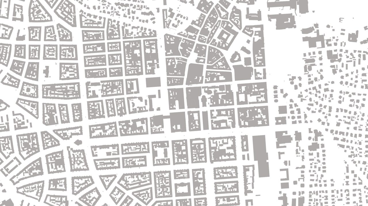
Urban development focuses on the management of overall development, taking into account the social, economic, cultural, transport, infrastructural and ecological framework conditions. Urban development planning is intended to organize the structures of the area and facilitate development.
The land use plan serves primarily as an instrument for controlling the overall development of Wiesbaden, from which, among other things, the future development of residential areas and the basic features of the green and open space system can be seen. Urban development in Wiesbaden is also embedded in the context of the development of the Rhine-Main region.
Urban planning office
Address
65189 Wiesbaden
Postal address
65029 Wiesbaden
Arrival
Notes on public transport
Bus stop Statistisches Bundesamt; bus lines 16, 22, 27, 28, 37, 45, X26, x72, 262
Telephone
Opening hours
Please make an appointment.
Information on accessibility
- Barrier-free access is available
- The WC is barrier-free