Rating cards
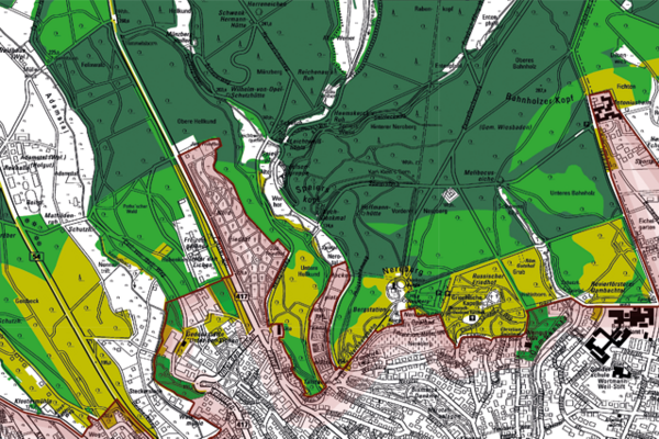
Forest evaluation map
The assessment of the forest, which is generally one of the highest assessment levels anyway, was based on external data in addition to the various data collected internally. These are the wildcat mapping, the demarcation of the FFH area beech forest, the forest stands over 100 years old and the special wet and dry sites. The assessment is carried out in three stages. Level five is the highest level with very high significance, while level three, medium significance, is the lowest.
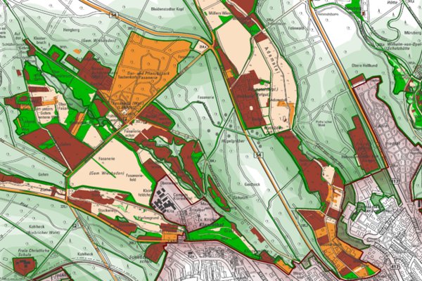
Flora rating card
The basis for the assessment of the flora is the biotope type mapping and the selective mapping of flora and fauna in the outdoor area. In contrast to the fauna, the basis for the assessment is not the general occurrence of plants but the occurrence of special, protected species. This results in biotope types with a high number of special plant species and others with none. Level five is the highest with very high importance and 14 special plant species, level one is the lowest with very low importance and no special plant species.
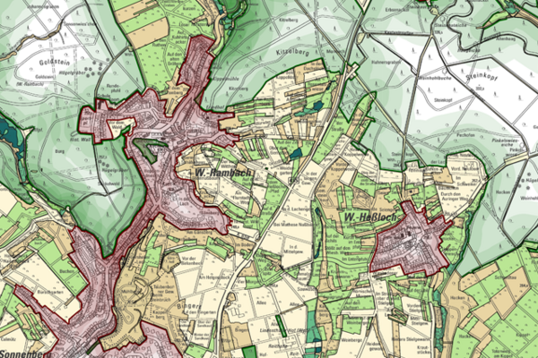
Fauna evaluation map
The basis for the assessment of the fauna is the biotope type mapping and the selective mapping of flora and fauna in the outdoor area. The mapped animal species were assigned to biotope types. This results in some areas with a high number of special animal species and others with none. Animals can also be found in these areas, but they are more likely to be common species or species that have not been mapped. Level five is the highest with very high significance and the presence of all six animal species surveyed; level one is the lowest with very low significance and no animal species surveyed.
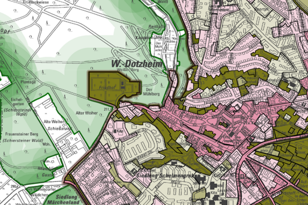
Evaluation map of biotopes in the inner area
The basis for the assessment is the urban biotope mapping, which rates the various settlement structures in terms of green and open spaces in five levels. Level five is the highest with very high significance for the inner-city biotope network. It is formed by the richly structured green and open spaces. Level one is the lowest with very low importance, predominantly high barrier effect and high degree of sealing.
Documents
Environmental Agency
Address
65189 Wiesbaden
Postal address
65029 Wiesbaden
Arrival
Notes on public transport
Bus stop Statistisches Bundesamt; bus lines 16, 22, 27, 28, 37, 45, X26, x72, 262
Telephone
Information on accessibility
- Barrier-free access is available
- The WC is barrier-free


