Digital twin Wiesbaden
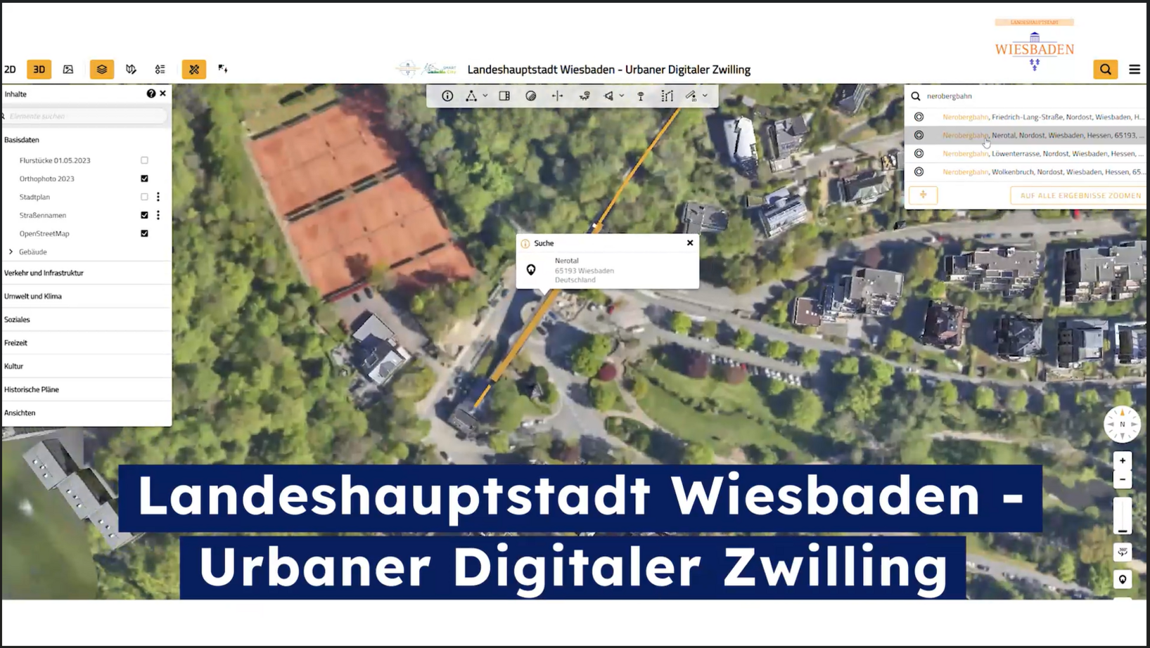
The digital twin is a 3D image of the state capital of Wiesbaden and offers citizens, politicians and administrators much more than just an interactive city map: It creates a sound basis for analysis, planning and orientation.
The digital twin digitally maps the city in all its complexity and provides a sound basis for analyses, planning, and participation processes. The first version is now available for public use.
NEWS:
The internal development team is involving the Wiesbaden community in prioritizing the next content and features through a survey. You can find the survey here: Digital Twin Survey (opens in a new tab)
In order to view the external content, you must enable it by clicking on the "Activate content" button. In doing so, the provider sets cookies and collects data on your usage behavior. You can revoke your consent at any time in the privacy settings (opens in a new tab) at https://www.wiesbaden.de/datenschutz.
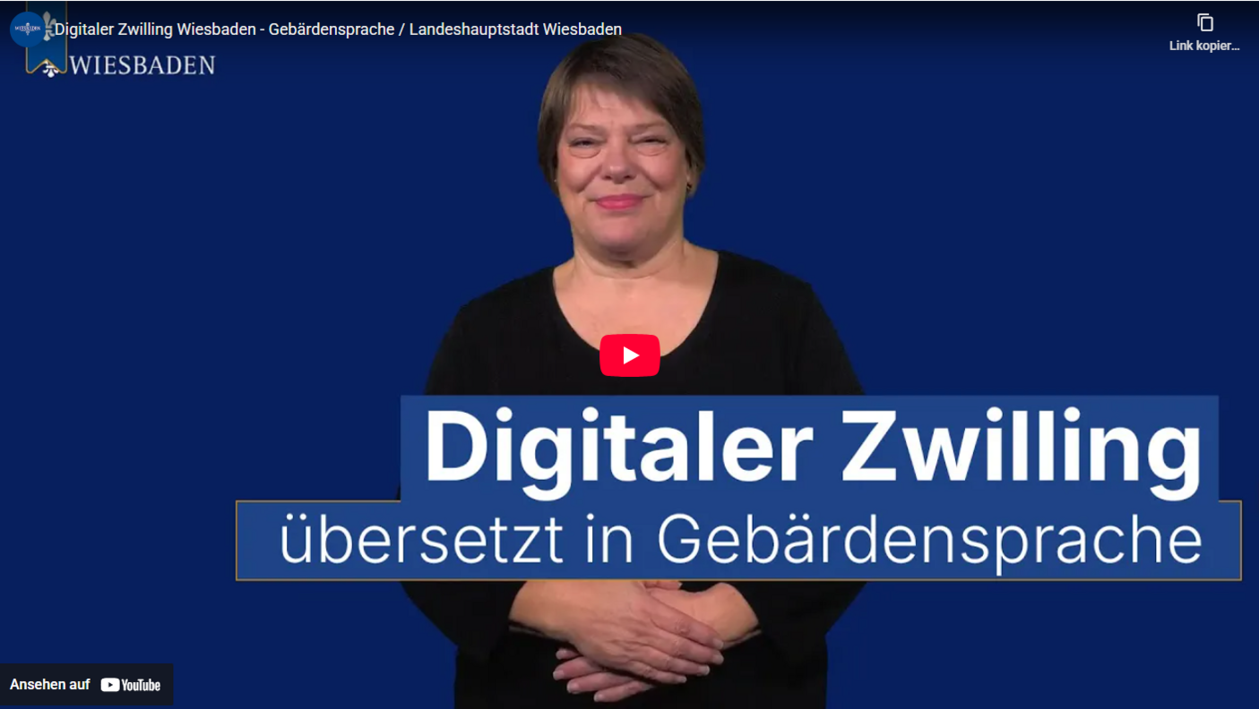
Video: The Urban Digital Twin in sign language
Discover the Wiesbaden Digital Twin:
Now available:
- Take an interactive tour to learn about Wiesbaden’s World Design Capital 2026 projects. Take the tour. (opens in a new tab)
- In the story “CONSUMPTION and ME – From Department Store to Shopping App,” learn what consumption has to do with us and our democracy. Take the tour. (opens in a new tab) (opens in a new tab)
- Municipal Heat Planning: Compare heat consumption as well as existing heat generators and energy sources at the district and neighborhood levels. Heat Planning. (opens in a new tab)
Structured information for well-founded decisions
Urban digital twins digitally map entire cities, neighborhoods, objects, and areas of a city, linking different data layers to create a holistic, virtual representation of reality. They can contain both static information (about individual buildings, objects, areas, or infrastructure) and dynamic data (such as air quality, traffic conditions, parking garage utilization, and so on).
Success factor database
High-quality data forms the foundation of this digital image. They enable the visualization of complex relationships in a city - for example, how buildings, population, traffic or environmental factors can influence each other. These visualizations help both experts and the general public to better understand complex urban processes and interrelationships.
Digital twins can be used to simulate "what-if" scenarios, for example for urban development, traffic planning or climate adaptation. Planners can evaluate the effects of various measures in advance and make more informed decisions.
In order to view the external content, you must enable it by clicking on the "Activate content" button. In doing so, the provider sets cookies and collects data on your usage behavior. You can revoke your consent at any time in the privacy settings (opens in a new tab) at https://www.wiesbaden.de/datenschutz.
A joint project with many participants
The Wiesbaden Digital Twin is being developed and refined in close collaboration between the city surveying department at the Civil Engineering and Surveying Office, the Smart City department, and other municipal departments. This also involves close cooperation with other partners within the city group. The implementation partner is virtualcitysystems GmbH.
The Digital Twin is being financed through a combination of public funds from the state of Hesse (opens in a new tab) and municipal budget funds.
Now it's your turn! Help us to continuously develop the digital twin
Do you have any new ideas or suggestions for the Digital Twin? We would be delighted to hear from you with specific points of contact at zwillingwiesbadende.