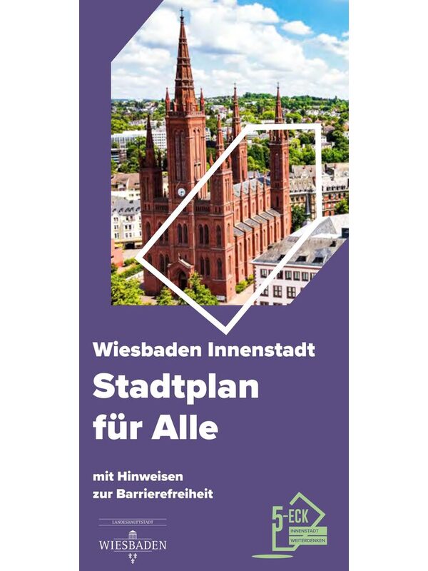
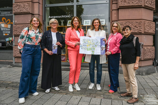
City center map with information on accessibility
The state capital of Wiesbaden has created a city center map with numerous tips on accessibility.
People with health restrictions often encounter obstacles when they want to move around the city center. This is where the new city center map of the state capital of Wiesbaden with information on accessibility can help.
It provides a wide range of information both on the streets and in public buildings: inclines, bus stops, tactile models, disabled parking spaces, barrier-free restaurants, hotels with barrier-free rooms and publicly accessible, barrier-free toilets are clearly marked. There are also references to places of interest, cultural facilities and tourist destinations.
A printed version of the city center map is available free of charge at the Wiesbaden Tourist Information at Markplatz 1 and can be downloaded in digital form under "Documents".
Important step towards an inclusive city
The city center plan is an important step towards an inclusive city in which accessibility is a matter of course. This increases the quality of life and makes it easier to visit the city center. The city center map is thus a visible sign of inclusion in practice in Wiesbaden - and a further step on the way to a city that excludes no one.
The city map covers the area of the historic pentagon - bounded by Rheinstraße, Schwalbacher Straße, Röderstraße, Taunusstraße and Wilhelmstraße - and includes central cultural institutions such as the Kurhaus, Casino, Hessisches Staatstheater and the Reinhard Ernst Museum. The offer is supplemented by information on underground car parks, tourist facilities and museums.
In the design, particular emphasis was placed on a user-friendly layout, easy-to-read typeface and clear color scheme as well as a handy, practically folded format despite its oversize. The first edition comprises 5,000 copies.
Differences to other city maps:
- Larger format (readability and clarity)
- High-contrast implementation (legibility)
- Information on accessibility is included (barrier-free WCs in public spaces and publicly accessible facilities, disabled parking spaces, underground car parks and entrance heights, hotels with rooms suitable for the disabled, etcetera).
- Special design specifications were taken into account (font size, contrasts, legibility, text scrolling, etcetera).
Contents of the city map:
- Reference to restaurants in the historic pentagon and listing of restaurants that meet special requirements such as: stepless entrance and access to WC, permission for assistance dogs, WC with door width greater than 80 centimetres, movement area in front of WC greater than 120 centimetres, grab rails
- Cultural facilities with addresses
- Public facilities with addresses
- Places of interest
- Hotels that meet the following requirements: stepless entrance and access to the WC, permission for assistance dogs, WC with door width greater than 80 centimetres, manoeuvring space in front of WC greater than 120 centimetres, grab rails
- Barrier-free WC facilities located on public streets and in publicly accessible buildings during opening hours.
- Car parking facilities for people with disabilities (including the respective number)
- Parking garages including car parking facilities for people with disabilities
- Road gradients or inclines (marked with red triangles)
- Information on tactile models and tactile plan
- Bus stops and cab ranks
A joint project
The project was initiated and implemented by the city management in close cooperation with the municipal inclusion officer and Wiesbaden Congress & Marketing GmbH. The city's inclusion and accessibility working group was also involved in the development process.
The project is funded by the Federal Ministry of Housing, Urban Development and Building as part of the federal program "Sustainable inner cities and centers" (ZIZ). Its aim is to provide new impetus for vibrant city centers with innovative, temporary measures.

