Biotope networking concept
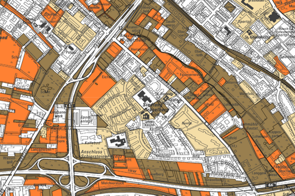
Assessment map for the biotope network
The four assessment maps are the starting point for this map, which forms the basis for the biotope network. The areas of very high and high importance were summarized from the four assessment maps. These were supplemented by level three, medium importance for fauna, forest and for the biotope types in the inner area. The flora at this level was omitted as these are species that are widespread in the urban area.
Level five thus shows the very high importance for flora, fauna, forest and the inner area, while level three, medium importance, is only shown from the perspective of fauna, forest and inner area. In this way, the areas with the highest values can be identified.
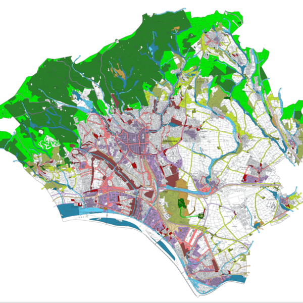
Biotope networking
The core zones, the connectivity corridors, the stepping stones and the flexible connectivity axes for the inner and outer areas were derived from the evaluation map. The core zones focus on areas of very high importance. The connectivity corridors are based on the areas of levels four and three as well as small-scale or isolated areas of level five. The stepping stones are areas of levels five to three, most of which are sporadic. In order to achieve connectivity throughout the entire urban area, i.e. also in the less well-equipped natural areas, connectivity axes were depicted in a schematic diagram. Priority should be given to upgrading and new developments in these areas. In addition, the areas with a particularly strong barrier effect were selected from level one of the assessment map for biotopes in the inner area.
The different zones are divided into five categories according to the main biotope type. This means that similar biotopes are linked together. These are Stream and river floodplains and wetlands: This category includes all floodplains in outdoor areas and forests as well as wetlands that are independent of floodplains. In addition to the existing typical vegetation, they also include the occurrence of floodplain soils. Uses that are not typical of the site should be converted in the long term.
Cultural landscape: These are areas with a high proportion of orchards, wooded areas, extensive meadows and ruderal meadows. They can be found in the open landscape.
Dry sites: These are relatively rare in Wiesbaden. This category includes semi-arid and nutrient-poor grasslands as well as rocky meadows, but also ruderal meadows in dry and warm locations - for example in the area of the railroad facilities. Forest: The forest is considered very valuable overall. Especially the older beech and oak stands as well as forests on moist and dry sites are of the highest importance.
Settlement-dominated habitats: The focus here is on green spaces, wooded areas and urban wasteland. The water meadows within built-up areas are also in this category.
It can be seen that the natural conditions in Wiesbaden are already predominantly good, and the intensity of use is extensive in some cases. However, both the eastern part of Wiesbaden and large parts of the settlement area are clearly deficient. The importance of the valuable biotope structures must be strengthened and secured in the long term through networking.

