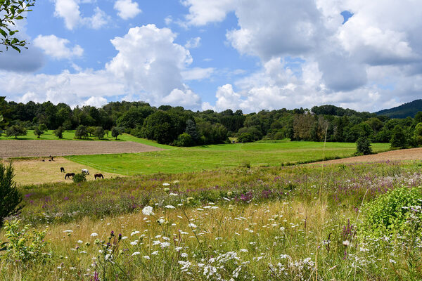
Auringen - A village with history
Auringen is first mentioned in a document from 1252.
First traces
Despite its late mention, Auringen is thought to date back to the time of the Germanic land conquest. At that time, Germanic peoples colonized large parts of Central Europe. Place names with endings such as -ungen or -ingen as well as the favorable climate and fertile soils point to this early settlement period. The ideal conditions for agriculture shaped the village for centuries.
Structural change
Already in the late 19th century, especially with the construction of the railroad in 1879, Auringen began a noticeable change. The growing construction industry in Wiesbaden provided many Auringen residents with work and income. Previously mainly employed in agriculture and forestry, day laborers and small farming families began to work as journeymen in Wiesbaden, Mainz and Höchst. The income of the commuters was still low at first, which is why many continued to work in agriculture. Over time, however, their incomes improved, while the income from farming declined. More and more people from Auring gave up farming. This structural change accelerated further after 1950. In just a few decades, Auringen changed more than in previous centuries and agriculture increasingly lost its dominant position.
From craft to suburb
Craft and trade were once closely linked to agriculture in Auringen, but developed more and more into independent sectors after 1900. A modest industrial development began, which later came to a standstill. Until 1950, Auringen was still characterized as a mixed commercial-agricultural community. From 1961, it was increasingly perceived as a residential community, which underlined the growing importance of housing in the region. On January 1, 1977, Auringen was incorporated into Wiesbaden as part of the Hessian regional reform.
Growth and infrastructure
Auringen has undergone significant demographic and infrastructural change. The number of inhabitants alone rose from 455 in 1939 to 3,248 in 2002. The number of residential buildings also increased considerably: from 108 in 1950 to 661 in 1992, the number of apartments grew from 142 to 1,161. The yard and building areas also increased from 5.9 hectares in 1948 to 55.7 hectares in 1993.
This change was supported by comprehensive infrastructure measures such as the expansion of roads, the introduction of a sewage system, the construction of a fully biological sewage treatment plant and the expansion of sports facilities. In addition, important municipal facilities such as a fire station, a kindergarten, a mourning hall and a multi-purpose hall were built. As Auringen developed into a popular residential suburb and urbanization progressed, the composition of the population also changed.
Historical highlight
The borders of the Nassau-Idstein, Kurmainz and Hessen-Darmstadt territories met at the site of the Dreiherrenstein in Auringen, which dates back to 1730.
